Leica Geosystems
Make your Business fly
Overview
|
HQ Location
Germany
|
Year Founded
2010
|
Company Type
Public
|
Revenue
$100m-1b
|
|
Employees
1,001 - 10,000
|
Website
|
Twitter Handle
|
Company Description
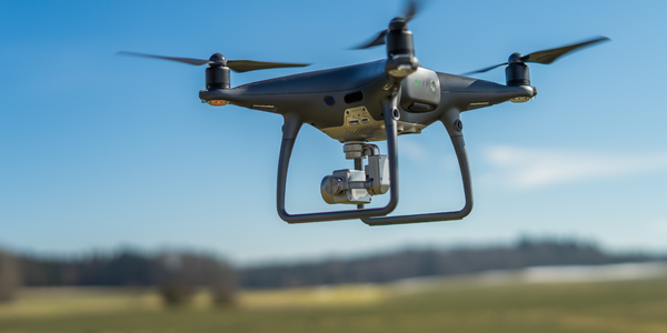
Providing proven aerial technology solutions, Aibotix is a leading developer of professional unmanned aerial vehicles (UAVs). Founded in 2010 with headquarters in Kassel, Germany, we support professionals´in the applications of mapping and surveying, industrial inspections, and agriculture and forestry. With our flagship Aibot X6, we offer a unique combination of autonomous flying robots, highly accurate sensors and intelligent software for the most accurate flight planning and data analysis.
Parent Company
IoT Snapshot
Leica Geosystems is a provider of Industrial IoT networks and connectivity, sensors, automation and control, drones, and wearables technologies, and also active in the agriculture, buildings, construction and infrastructure, mining, oil and gas, security and public safety, transportation, and utilities industries.
Technologies
Use Cases
Functional Areas
Industries
Services
Technology Stack
Leica Geosystems’s Technology Stack maps Leica Geosystems’s participation in the networks and connectivity, sensors, automation and control, drones, and wearables IoT Technology stack.
-
Devices Layer
-
Edge Layer
-
Cloud Layer
-
Application Layer
-
Supporting Technologies
Technological Capability:
None
Minor
Moderate
Strong

Supplier missing?
Start adding your own!
Register with your work email and create a new supplier profile for your business.


