Google 和 CARTO 的合作:塑造 GIS 和空间数据科学的未来

技术
- 分析与建模 - 大数据分析
- 基础设施即服务 (IaaS) - 云存储服务
适用行业
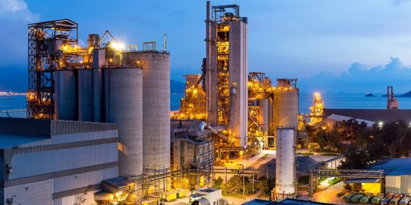
- 水泥
- 建筑与基础设施
用例
- 施工管理
- 时间敏感网络
服务
- 数据科学服务
关于客户
本例中的客户是空间数据分析的用户,范围可能从公共卫生组织到对冲基金。这些客户以前必须管理自己的基础设施,包括确定计算机的大小、所需的 CPU 周期以及所需的存储容量。他们还必须找到并准备分析所需的数据集。这个过程不仅耗时,而且需要大量的技术专业知识。通过 Google 和 CARTO 之间的合作,这些客户现在可以访问准备好的数据集和强大的数据基础设施,而无需担心存储成本。

挑战
空间数据分析正处于关键时刻。在过去十年左右的时间里,客户必须管理自己的基础设施,包括 GIS 软件的安装和维护。这可能是在笔记本电脑、台式机甚至大型机上,但确定计算机的大小、所需的 CPU 周期以及所需的存储容量的责任落在客户身上。这个过程不仅耗时,而且需要大量的技术专业知识。此外,客户必须找到并准备分析所需的数据集,这可能是一个具有挑战性且成本高昂的过程。
解决方案
Google 和 CARTO 携手将 BigQuery 和 GIS 结合在一起,为空间分析提供强大的数据基础设施。 CARTO 通过准备空间分析中常用的数据集来增加价值,从而节省客户自行查找和准备这些数据集的时间和成本。谷歌还承担存储成本,使客户可以随时使用数据进行分析,而无需任何额外费用。此次合作旨在让更广泛的用户(包括 GIS 专业人员)更容易使用 BigQuery。通过与CARTO的数据观测站集成,客户不再需要加载、处理和准备自己的数据,使系统更加用户友好和高效。
运营影响

Case Study missing?
Start adding your own!
Register with your work email and create a new case study profile for your business.
相关案例.
Case Study
System 800xA at Indian Cement Plants
Chettinad Cement recognized that further efficiencies could be achieved in its cement manufacturing process. It looked to investing in comprehensive operational and control technologies to manage and derive productivity and energy efficiency gains from the assets on Line 2, their second plant in India.
Case Study
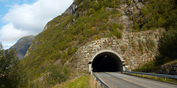
IoT System for Tunnel Construction
The Zenitaka Corporation ('Zenitaka') has two major business areas: its architectural business focuses on structures such as government buildings, office buildings, and commercial facilities, while its civil engineering business is targeted at structures such as tunnels, bridges and dams. Within these areas, there presented two issues that have always persisted in regard to the construction of mountain tunnels. These issues are 'improving safety" and "reducing energy consumption". Mountain tunnels construction requires a massive amount of electricity. This is because there are many kinds of electrical equipment being used day and night, including construction machinery, construction lighting, and ventilating fan. Despite this, the amount of power consumption is generally not tightly managed. In many cases, the exact amount of power consumption is only ascertained when the bill from the power company becomes available. Sometimes, corporations install demand-monitoring equipment to help curb the maximum power demanded. However, even in these cases, the devices only allow the total volume of power consumption to be ascertained, or they may issue warnings to prevent the contracted volume of power from being exceeded. In order to tackle the issue of reducing power consumption, it was first necessary to obtain an accurate breakdown of how much power was being used in each particular area. In other words, we needed to be able to visualize the amount of power being consumed. Safety, was also not being managed very rigorously. Even now, tunnel construction sites often use a 'name label' system for managing entry into the work site. Specifically, red labels with white reverse sides that bear the workers' names on both sides are displayed at the tunnel work site entrance. The workers themselves then flip the name label to the appropriate side when entering or exiting from the work site to indicate whether or not they are working inside the tunnel at any given time. If a worker forgets to flip his or her name label when entering or exiting from the tunnel, management cannot be performed effectively. In order to tackle the challenges mentioned above, Zenitaka decided to build a system that could improve the safety of tunnel construction as well as reduce the amount of power consumed. In other words, this new system would facilitate a clear picture of which workers were working in each location at the mountain tunnel construction site, as well as which processes were being carried out at those respective locations at any given time. The system would maintain the safety of all workers while also carefully controlling the electrical equipment to reduce unnecessary power consumption. Having decided on the concept, our next concern was whether there existed any kind of robust hardware that would not break down at the construction work site, that could move freely in response to changes in the working environment, and that could accurately detect workers and vehicles using radio frequency identification (RFID). Given that this system would involve many components that were new to Zenitaka, we decided to enlist the cooperation of E.I.Sol Co., Ltd. ('E.I.Sol') as our joint development partner, as they had provided us with a highly practical proposal.

Case Study
Splunk Partnership Ties Together Big Data & IoT Services
Splunk was faced with the need to meet emerging customer demands for interfacing IoT projects to its suite of services. The company required an IoT partner that would be able to easily and quickly integrate with its Splunk Enterprise platform, rather than allocating development resources and time to building out an IoT interface and application platform.

Case Study
Bridge monitoring in Hamburg Port
Kattwyk Bridge is used for both rail and road transport, and it has played an important role in the Port of Hamburg since 1973. However, the increasing pressure from traffic requires a monitoring solution. The goal of the project is to assess in real-time the bridge's status and dynamic responses to traffic and lift processes.
Case Study
Bellas Landscaping
Leading landscaping firm serving central Illinois streamlines operations with Samsara’s real-time fleet tracking solution: • 30+ vehicle fleet includes International Terrastar dump trucks and flatbeds, medium- and light-duty pickups from Ford and Chevrolet. Winter fleet includes of snow plows and salters.
