Leveraging Spatial Data for 5G Deployment: A T-Mobile Case Study

Technology Category
- Networks & Connectivity - 5G
- Networks & Connectivity - Radio Access Network
Applicable Industries
- Telecommunications
Applicable Functions
- Sales & Marketing
About The Customer
T-Mobile US, Inc. is an American wireless network operator partly owned by German telecommunications company Deutsche Telekom (DT). Its headquarters are located in Bellevue, Washington, in the Seattle metropolitan area, and Overland Park, Kansas, in the Kansas City metropolitan area. T-Mobile is the second-largest wireless carrier in the United States, with 108.7 million subscribers as of the end of Q4 2021. In 2021, T-Mobile launched its 5G home internet service, making it available to 30 million homes across the US.

The Challenge
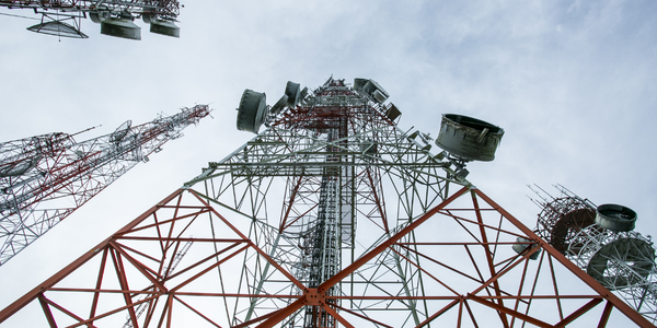
T-Mobile, the second-largest wireless carrier in the United States, faced a significant challenge when it launched its 5G home internet service in early 2021. The service was made available to 30 million homes across the US, following a pilot period that began in 2019. The challenge lay in the fact that wireless internet for a fixed address requires a significantly different qualification process than a traditional internet service provider (ISP). Making informed decisions about candidacy required a large amount of spatial data. With 185 million unique addresses in the US, each with untold variables associated with them, T-Mobile needed to determine who was qualified for service. This included determining at an aggregate level which zip codes, MSAs, or states had the greatest potential.
The Solution
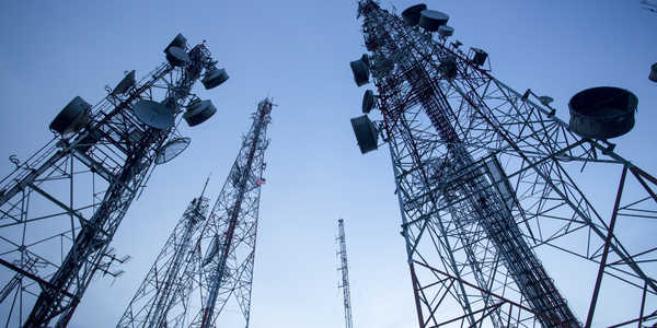
To address this challenge, T-Mobile built an internal analytics platform that leverages CARTO for processing and visualization. This platform helped them translate spatial data into actionable intelligence and provide services to allow enterprise channel sales and marketing partners to sell their products more effectively. Geospatial and network teams were able to calculate the capacity for delivering a consistent internet experience by analyzing the propagation of radio frequency to households within the cell site’s coverage footprint. T-Mobile was also able to predict the expected experience of a home internet customer by accounting for terrain and foliage interference from a tower or where a device must be positioned in their home. The use of CARTO APIs enabled business users in the organization with limited Data Science skills to explore data without having to worry about how to perform tasks related to common data aggregations or schema exploration.
Operational Impact

Case Study missing?
Start adding your own!
Register with your work email and create a new case study profile for your business.
Related Case Studies.

Case Study
Vodafone Hosted On AWS
Vodafone found that traffic for the applications peak during the four-month period when the international cricket season is at its height in Australia. During the 2011/2012 cricket season, 700,000 consumers downloaded the Cricket Live Australia application. Vodafone needed to be able to meet customer demand, but didn’t want to invest in additional resources that would be underutilized during cricket’s off-season.

Case Study
SKT, Construction of Smart Office Environment
SK T-Tower is the headquarters of SK Telecom. Inside the building, different types of mobile devices, such as laptops, smartphones and tablets, are in use, and with the increase in WLAN traffic and the use of quality multimedia data, the volume of wireless data sees an explosive growth. Users want limitless Internet access in various places in addition to designated areas.